.png)
Equipment & sevices
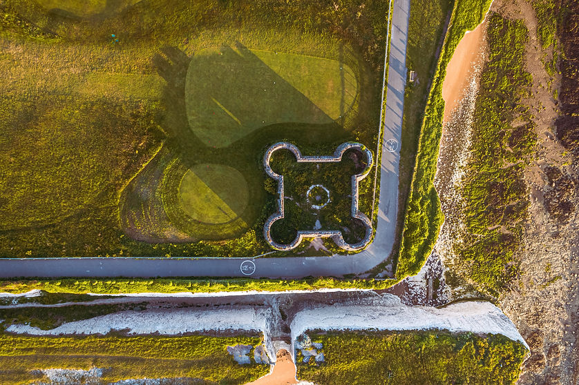
LiDAR Camera
LiDAR or Light Detection and Ranging, uses pulsed lasers to measure distance and create highly accurate 3D maps combined with our RTK guidance enabled aircraft and base station. In single or dual or triple echo mode the sensor can return 240,000 points per second and in dual echo mode it can return up to 480,000 points in total.
Our LiDAR sensor also has an in-built 20mp RGB camera to colourize 3D point clouds simultaneously to overlay true colour data onto point clouds. Alternatively we can use our full frame 45mp camera as a second payload to capture HD imagery to overlay point cloud data.
Recommended for: aerial surveying, topographic mapping, infrastructure inspection, forestry and land mapping.

45 mega-pixel full frame camera
Our 45mp full frame camera enables highly accurate photogrammetry imagery data collection for creating 2D, 3D maps and detailed models with 24/35/50mm lenses including a smart oblique image capture feature. Combined with our RTK guidance and ground control points enables highly accurate data collection down to 3cm horizontally and 5cm vertically.
Uses: topographic mapping, cadastral surveying/3D modelling, AEC surveying, Quantity surveying.

Multi-sensor inspection payload
Our multi sensor payload combines the following sensors:
- Radiometric thermal camera.
- Laser range finder up to 1200m.
- 12MP wide angle camera.
- 20MP zoom camera with a 23x hybrid optical zoom (200x maximum zoom) for 4k/30fps video / photo collection.
Further sensors & bespoke solutions
Coming soon:
- gas detection
- Ground penetrating radar (up to 10m depth)
- Water sampling
- Echo sounding
- Coating thickness measurement probe
- Ultrasonic thickness gauge
Cole aero also provide bespoke solutions for a wide range of industries. Please contact us today for more information.

Contact
Like what you see? Get in touch to learn more.